Greenhouse gas emissions
Earth's atmosphere is a dynamic mixture of gases that consists of approximately 78% nitrogen and 21% oxygen. The remaining 1% is a mixture of neutral gases (e.g., argon, neon, helium, hydrogen, …) and a variety of greenhouse gases (e.g., carbon dioxide (CO2), methane (CH4), nitrous oxide (N2O), …). As suggested by their name, these greenhouse gases (GHGs) trap heat by absorbing infrared radiation (e.g., from the sun) and re-radiating it back toward the planet's surface. This intensifies the natural greenhouse effect and plays a crucial role in both weather and climate systems.
Emissions of greenhouse gases occur primarily through human activities. Burning of fossil fuels for transport or electricity generation plays an important role, as well as the huge variety of industrial processes and livestock agriculture. In addition, also natural processes contribute to the total emission of greenhouse gases. Examples include the thawing of the permafrost and the anoxic degradation of organic matter in deep freshwater lakes, as well as wildfires and volcanic activities. In this regard, it is also important to note that human activities have the potential to affect both the rate and the quantity of these natural greenhouse gas emissions.
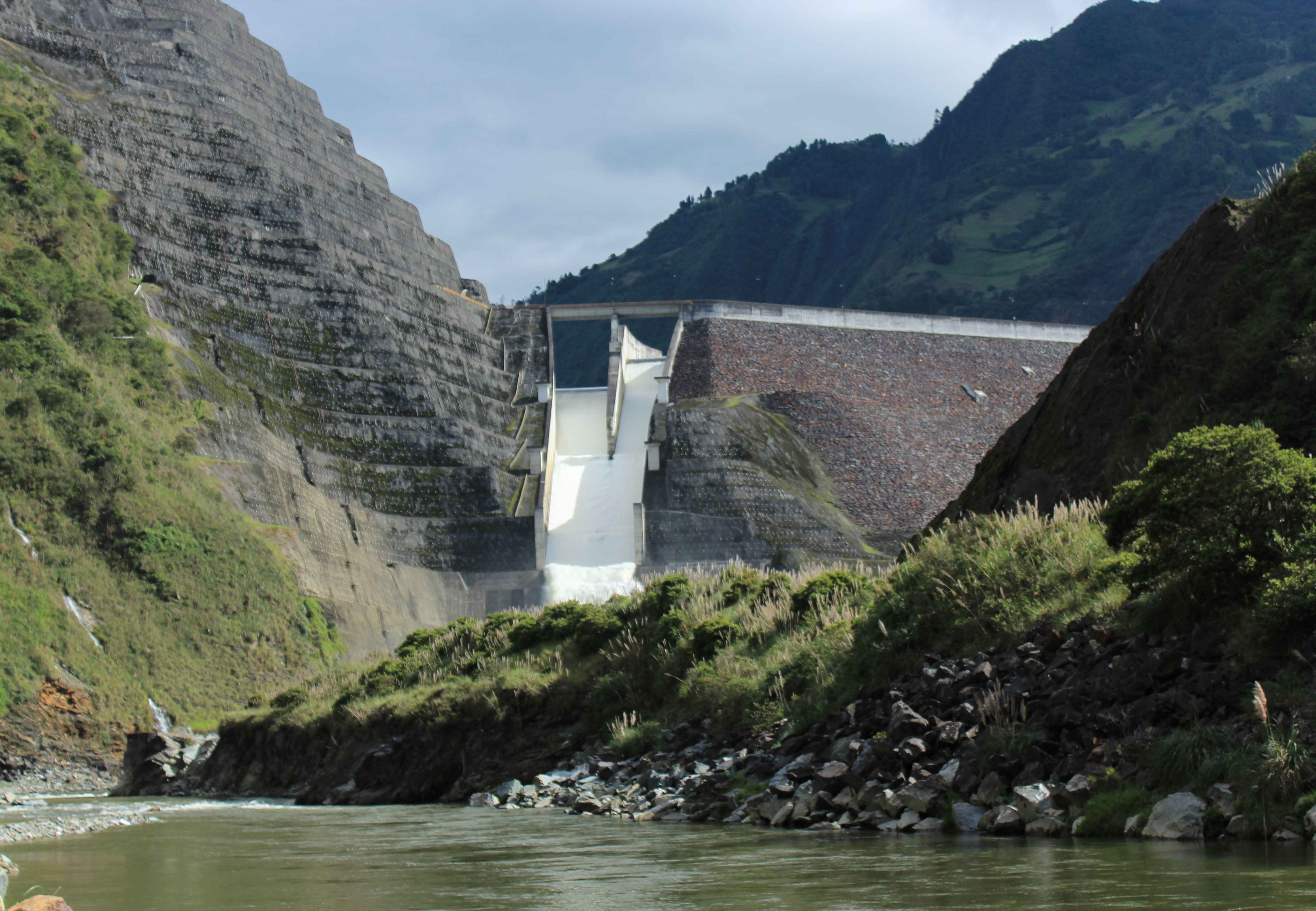
Within the HydroCORE project, we are interested in the emissions of greenhouse gases generated by the two reservoirs that are present in our study area. We are especially interested in how these emissions relate to the emissions generated by the surrounding river systems and how they are influenced by seasonal differences. In order to make statements about these conditions, we will make use of data collected in the field and through remote sensing.
Data
We identify two main sources of data for the analysis of greenhouse gas emissions: (1) field data and (2) satellite-based data. First of all, field data reflects real-world conditions with unmatched accuracy as it is collected directly from the source. Within the HydroCORE project, eight sampling campaigns have been conducted to gather information on greenhouse gas emissions and their spatiotemporal variability. In addition, samples were also collected to determine the presence of these greenhouse gases dissolved within the water column. More information on the fieldwork itself and on the eight individual campaigns can be found here, while more specific information can be found on the pages dedicated to the dissolved greenhouse gases and the emitted greenhouse gases.
Secondly, satellite-based data is useful to extend the field-based findings to a wider scale (both spatial and temporal). Prior to such extension, these data series require ground-truthing to ensure their accuracy and reliability. After all, there might be a gap between what satellites think they observe and what is actually happening. More information on this second category of data will be added soon.