Modelling flow patterns
Rivers are well-known elements of natural ecosystems and play a crucial role in supporting all kinds of life. They transport water and essential minerals from the lands to the oceans, while exchanging water with other freshwater systems (like wetlands, lakes, and aquifers) along the way. Their flow is determined by a combination of precipitation (like rainfall, snow, …) and groundwater, which results in a continuous movement of water between atmosphere, land, and oceans. This continuity is known as the hydrological cycle (also known as the water cycle).
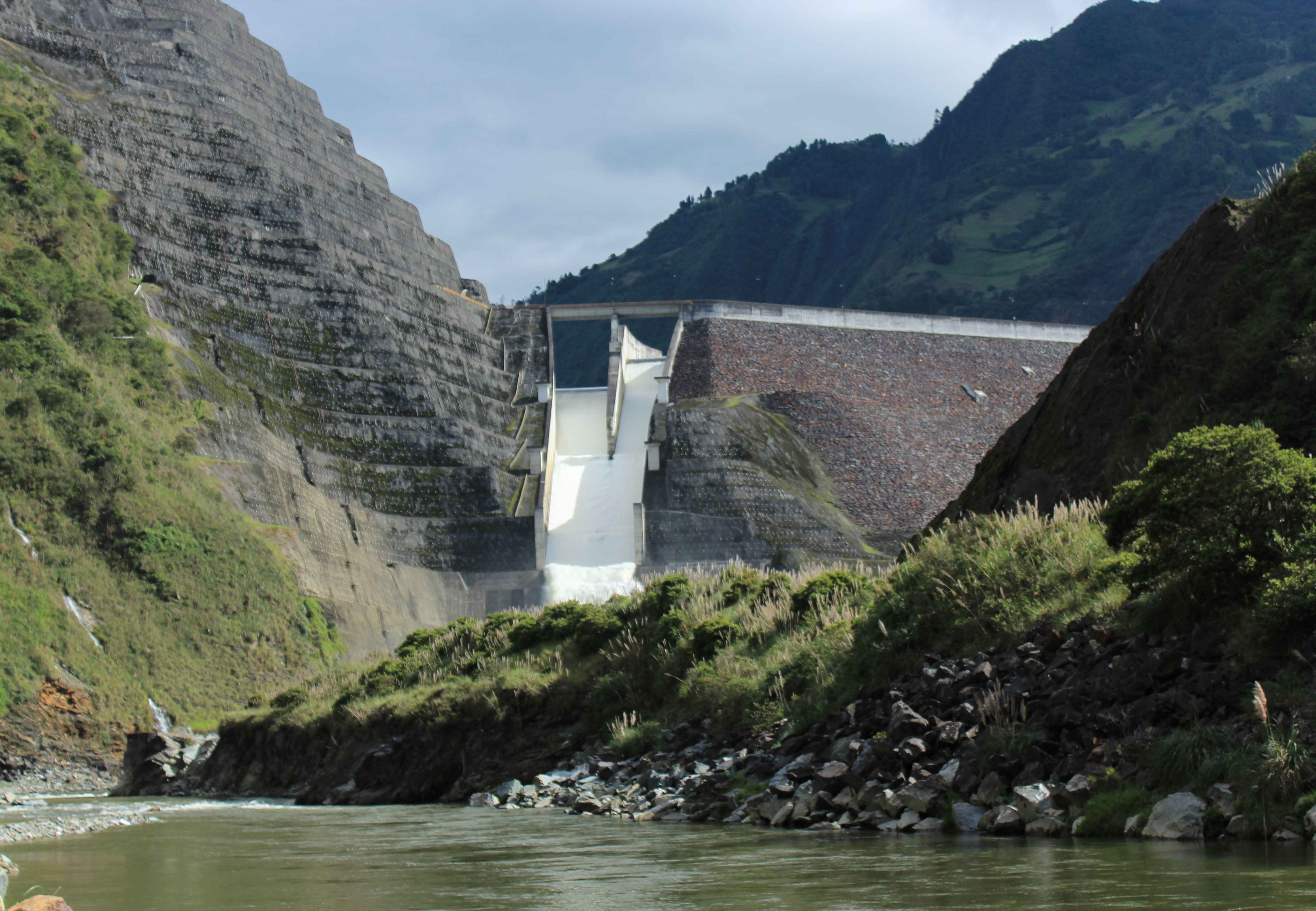
Within the HydroCORE project, we are interested in the response of the Paute river system to current and future precipitation patterns. We are especially interested in how these patterns influence the input of water into the reservoirs used for hydropower generation and how management could or should adapt itself to extreme precipitation events, both on the short-term (like peak precipitation in a few days) and on the long-term (like extended periods without significant precipitation). In order to be able to make statements on these conditions, we aim to model current and future river flow conditions, for which we need both data and software.
Data
The development of hydrological models relies on large amounts of data, regardless of being data-driven or process-based. First of all, we identify flow data as being essential for our objectives. This flow data should at least be present for the inflow of the reservoirs, while any additional flow data (including tributaries, upstream locations, and reservoir outflows) are certainly a plus for model calibration. After all, river systems are connected and changes in tributaries ultimately affect the flow conditions downstream.
Secondly, precipitation data is required to establish the response of the river system to the temporal dynamics of precipitation patterns. Preferably, this precipitation data is available in a gridded manner (obtained through specific models), while ground stations are fundamental in confirming actual precipitation events.
Lastly, a variety of additional information can be considered useful when developing a hydrological model. This includes both geographical information (like digital elevation map (DEM), local land use (LU) map, local soil characteristics, …) and meteorological information (evapotranspiration, temperature, wind speed, …).
All this data can be collected in the field in order to create our own database, but this would result in a significant time investment. Moreover, several data needs can be satisfied by making use of external data, collected and generated by a variety of governmental and research institutes. We created the following overview of data needs and the associated data sources:
| Data | Source |
|---|---|
| Flow data |
|
| Precipitation data |
|
| Digital Elevation Model (DEM) | TBD |
| Land Use (LU) Map | TBD |
| Soil characteristics | TBD |
| Meteorological data |
|
More information will soon be added.
Software
The software of choice for performing the desired hydrological modelling exercises, is SWAT+ (an updated version of the original Soil and Water Assessment Tool). It is a public domain hydrology model that can be used for simulating both quality and quantity of surface and ground water. The potential applications of the SWAT+ model are highly variable and range from climate change studies to local water quality studies (including nutrient loading, total daily maximum loads, pesticides presence, and bacteria occurrence).
At the technical level, SWAT+ is a semi-distributed modelling approach and provides a direct integration with the spatial analysis software QGIS. It relies on the merging of areas within a subbasin with a unique combination of land use, soil type, and slope into hydrologic response units (HRUs). These HRUs are used to simulate all hydrologic processes occurring in the landscape (like runoff, infiltration) and make the model computationally efficient. The associated SWAT+ Toolbox works with the SWAT+ model for sensitivity analysis, model calibration, evaluation, and validation.
More information can be found here.